New South Wales & Queensland

Fires near you.

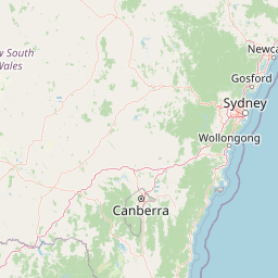
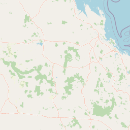
Live bushfire and incident activity across NSW and QLD, sourced directly from the NSW RFS and QLD Fire Department, shown with the standard alert-level iconology.

Fire danger near you

Save your property or town and we'll show today's fire danger rating here — and open the map there every visit.

Or search a suburb, town or postcode on the map below and tap “Save as my location”.

Current Incidents — NSW & QLD62
NSW 12 · QLD 50
Leaflet © OpenStreetMap contributors
Incidents Emergency Warning Watch and Act Advice Planned Burn Other Incident
Click anywhere on the map for local weather & fire danger.Source: NSW RFS · QLD Fire Department · Landgate MyFireWatch / DEA · Open-Meteo
Fireway

Bushfire consultancy delivering planned burning, fire planning, mapping and asset protection across the Northern Rivers NSW to South East QLD.

Contact

Contact

Aboriginal flagTorres Strait Islander flag

Fireway is a majority Indigenous owned and operated business, proudly working alongside Aboriginal and Torres Strait Islander communities to care for Country through fire.

© 2026 Fireway. All rights reserved.

We acknowledge the Traditional Custodians of the land and pay respect to Elders past and present.

Acknowledgement of Country

Fireway acknowledges the Traditional Custodians of the lands and waters on which we work — from the Northern Rivers NSW to South East Queensland — and recognises their deep and continuing connection to Country and to fire.

We pay our respects to Elders past and present, and we are privileged to walk alongside local mob in caring for Country through fire.

Fireway

Add Fireway to your phone

Open the live fire map and danger ratings in one tap — works like an app.